Barn Cottage Recreation Ground, Haywards Heath
Introduction
The photograph on this page of Barn Cottage Recreation Ground, Haywards Heath by Simon Carey as part of the Geograph project.
The Geograph project started in 2005 with the aim of publishing, organising and preserving representative images for every square kilometre of Great Britain, Ireland and the Isle of Man.

There are currently over 7.5m images from over 14,400 individuals and you can help contribute to the project by visiting https://www.geograph.org.uk
Barn Cottage Recreation Ground, Haywards Heath
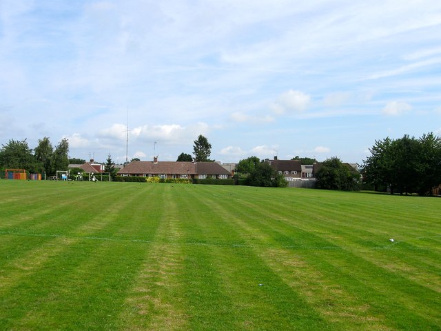
Image: © Simon Carey Taken: 15 Aug 2015
Consisting of a playground in the north west corner and a fully sized football pitch with a pavilion out of shot to the left but visible on Image On Lindfield's 1845 tithe map this was a field called Barn Field.
Images are licensed for reuse under creativecommons.org/licenses/by-sa/2.0
Image Location
Latitude
51.002319
Longitude
-0.086472