Ramsgate: The Wheatsheaf Public House, St Lawrence
Introduction
The photograph on this page of Ramsgate: The Wheatsheaf Public House, St Lawrence by Nigel Cox as part of the Geograph project.
The Geograph project started in 2005 with the aim of publishing, organising and preserving representative images for every square kilometre of Great Britain, Ireland and the Isle of Man.

There are currently over 7.5m images from over 14,400 individuals and you can help contribute to the project by visiting https://www.geograph.org.uk
Ramsgate: The Wheatsheaf Public House, St Lawrence
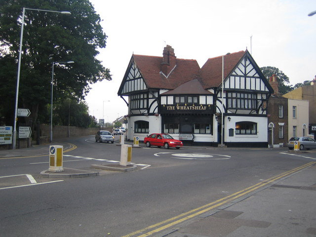
Image: © Nigel Cox Taken: 7 Jun 2007
At the junction of the A255 High Street St Lawrence with the B2050 Manston Road, this half-timbered pub is reputedly currently up for sale.
Images are licensed for reuse under creativecommons.org/licenses/by-sa/2.0
Image Location
Latitude
51.337358
Longitude
1.401214