Portsmouth Bridge, Lindfield
Introduction
The photograph on this page of Portsmouth Bridge, Lindfield by Simon Carey as part of the Geograph project.
The Geograph project started in 2005 with the aim of publishing, organising and preserving representative images for every square kilometre of Great Britain, Ireland and the Isle of Man.

There are currently over 7.5m images from over 14,400 individuals and you can help contribute to the project by visiting https://www.geograph.org.uk
Portsmouth Bridge, Lindfield
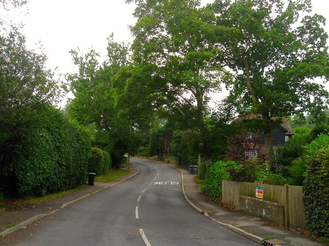
Image: © Simon Carey Taken: 15 Aug 2015
Carrying Portsmouth lane over an unnamed tributary of Scrase Stream. The lane currently marks the parish boundary between Lindfield and Haywards Heath which then follows the stream westwards. The latter expanded into the former's territory during the 1930s.
Images are licensed for reuse under creativecommons.org/licenses/by-sa/2.0
Image Location
Latitude
51.015308
Longitude
-0.094349