Barrington Wood, Lindfield
Introduction
The photograph on this page of Barrington Wood, Lindfield by Simon Carey as part of the Geograph project.
The Geograph project started in 2005 with the aim of publishing, organising and preserving representative images for every square kilometre of Great Britain, Ireland and the Isle of Man.

There are currently over 7.5m images from over 14,400 individuals and you can help contribute to the project by visiting https://www.geograph.org.uk
Barrington Wood, Lindfield
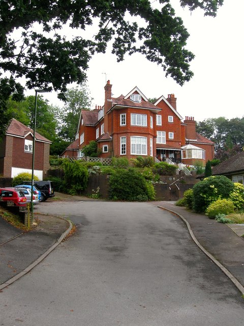
Image: © Simon Carey Taken: 15 Aug 2015
Small cul de sac off Portsmouth Wood that was built in the former grounds of Barrington House in the late 1970s. The house itself constructed in 1909 still stands and is now divided into four dwellings.
Images are licensed for reuse under creativecommons.org/licenses/by-sa/2.0
Image Location
Latitude
51.016444
Longitude
-0.092306