Pickers Green, Lindfield
Introduction
The photograph on this page of Pickers Green, Lindfield by Simon Carey as part of the Geograph project.
The Geograph project started in 2005 with the aim of publishing, organising and preserving representative images for every square kilometre of Great Britain, Ireland and the Isle of Man.

There are currently over 7.5m images from over 14,400 individuals and you can help contribute to the project by visiting https://www.geograph.org.uk
Pickers Green, Lindfield
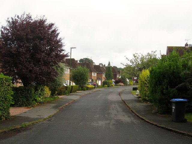
Image: © Simon Carey Taken: 15 Aug 2015
Built in the 1960s on former open fields after a compromise agreement was reached whereby the northern two would become open space, see Image, and the southern two be developed for housing. The old public footpath that ran through the fields still exists on the eastern side of the estate. The estate is named after an old crossroads on Hickmans Lane called Pickesgreen Cross.
Images are licensed for reuse under creativecommons.org/licenses/by-sa/2.0
Image Location
Latitude
51.014198
Longitude
-0.086981