Crossroads, Aberfeldy
Introduction
The photograph on this page of Crossroads, Aberfeldy by Richard Sutcliffe as part of the Geograph project.
The Geograph project started in 2005 with the aim of publishing, organising and preserving representative images for every square kilometre of Great Britain, Ireland and the Isle of Man.

There are currently over 7.5m images from over 14,400 individuals and you can help contribute to the project by visiting https://www.geograph.org.uk
Crossroads, Aberfeldy
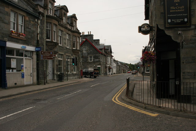
Image: © Richard Sutcliffe Taken: 14 Aug 2015
Looking down the main street in Aberfeldy (the A827). At this point it is called Bank Street. At the Junction it meets Crieff Road (A826, on left) and Taybridge Road (B846, on right). The A827 continues straight on as Kenmore Street.
Images are licensed for reuse under creativecommons.org/licenses/by-sa/2.0
Image Location
Latitude
56.618987
Longitude
-3.868475