Cliftonville: Palm Bay
Introduction
The photograph on this page of Cliftonville: Palm Bay by Nigel Cox as part of the Geograph project.
The Geograph project started in 2005 with the aim of publishing, organising and preserving representative images for every square kilometre of Great Britain, Ireland and the Isle of Man.

There are currently over 7.5m images from over 14,400 individuals and you can help contribute to the project by visiting https://www.geograph.org.uk
Cliftonville: Palm Bay
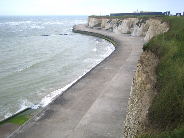
Image: © Nigel Cox Taken: 7 Jun 2007
This is the eastern end of Palm Bay showing the cliffs and sea defences leading round to Foreness Point. The rectangular black slab on the top of the cliff is the boundary wall of Southern Water's construction site where improvements are currently being made to the Foreness Point Wastewater Treatment Works.
Images are licensed for reuse under creativecommons.org/licenses/by-sa/2.0
Image Location
Latitude
51.392505
Longitude
1.422559