Railway from the Whitehall Road Crossing
Introduction
The photograph on this page of Railway from the Whitehall Road Crossing by Chris Heaton as part of the Geograph project.
The Geograph project started in 2005 with the aim of publishing, organising and preserving representative images for every square kilometre of Great Britain, Ireland and the Isle of Man.

There are currently over 7.5m images from over 14,400 individuals and you can help contribute to the project by visiting https://www.geograph.org.uk
Railway from the Whitehall Road Crossing
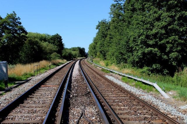
Image: © Chris Heaton Taken: 9 Aug 2015
Looking south west on the line between Ashford and Canterbury West, from the point where the narrow Whitehall Road crosses the rails. According to my map I was following the Stour Valley Walk LDP - only to discover it has been shifted off the road to the river bank.
Images are licensed for reuse under creativecommons.org/licenses/by-sa/2.0
Image Location
Latitude
51.274587
Longitude
1.058567