White Ash Glade, Caerleon
Introduction
The photograph on this page of White Ash Glade, Caerleon by Jaggery as part of the Geograph project.
The Geograph project started in 2005 with the aim of publishing, organising and preserving representative images for every square kilometre of Great Britain, Ireland and the Isle of Man.

There are currently over 7.5m images from over 14,400 individuals and you can help contribute to the project by visiting https://www.geograph.org.uk
White Ash Glade, Caerleon
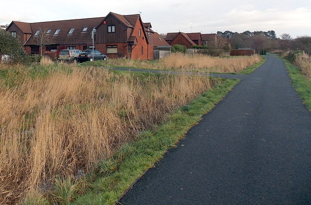
Image: © Jaggery Taken: 3 Jan 2014
The southern edge of White Ash Glade is on the left, viewed from National Cycle Network route 88.
Images are licensed for reuse under creativecommons.org/licenses/by-sa/2.0
Image Location
Latitude
51.610626
Longitude
-2.975173