Former Christ Church, Painswick
Introduction
The photograph on this page of Former Christ Church, Painswick by Jaggery as part of the Geograph project.
The Geograph project started in 2005 with the aim of publishing, organising and preserving representative images for every square kilometre of Great Britain, Ireland and the Isle of Man.

There are currently over 7.5m images from over 14,400 individuals and you can help contribute to the project by visiting https://www.geograph.org.uk
Former Christ Church, Painswick
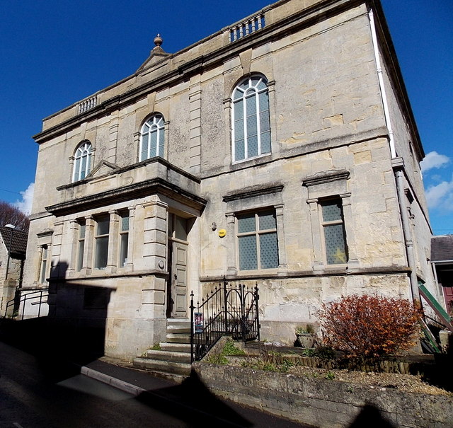
Image: © Jaggery Taken: 23 Mar 2014
Viewed across Gloucester Street in March 2014. The Gloucester Citizen reported that Christ Church held its final service in September 2010. Retired teacher Maureen Kinnear, the church's secretary, said the decision to shut had been taken with regret. "Members no longer feel able to maintain the church as a worshipping community," she said."It was agreed that the last service would be a service of thanksgiving for more than 300 years of worship, witness and service in Painswick Baptist Church, Painswick Congregational Church and latterly Christ Church, Baptist – United Reformed Church." Miss Kinnear said there were usually about 15 or so people at regular Sunday morning services. "It is mainly that we are all getting older and we wanted to close before we dwindled to nothing." The church, one of the historic Nonconformist Meeting Houses in Gloucestershire, was founded in the turbulent mid-17th century. There has been a church on this site since 1656. This Grade II listed building dates from 1803, substantially altered in 1892.
Images are licensed for reuse under creativecommons.org/licenses/by-sa/2.0
Image Location
Latitude
51.787777
Longitude
-2.193931