Redevelopment
Introduction
The photograph on this page of Redevelopment by Anne Burgess as part of the Geograph project.
The Geograph project started in 2005 with the aim of publishing, organising and preserving representative images for every square kilometre of Great Britain, Ireland and the Isle of Man.

There are currently over 7.5m images from over 14,400 individuals and you can help contribute to the project by visiting https://www.geograph.org.uk
Redevelopment
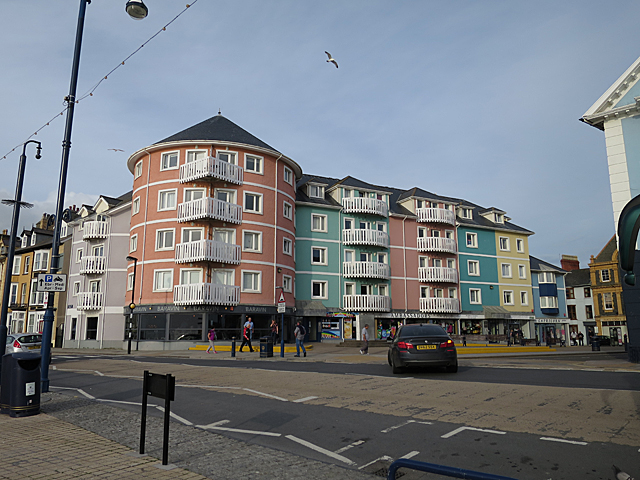
Image: © Anne Burgess Taken: 27 Jun 2015
Accoring to the maps this was originally an ordinary road junction, but it has been opened up to make a sort of square, and the buildings replaced by an ice-cream striped block given a pleasing sense of unity by the matching balcony railings.
Images are licensed for reuse under creativecommons.org/licenses/by-sa/2.0
Image Location
Latitude
52.416877
Longitude
-4.08438