Barn at east end of Torpenhow
Introduction
The photograph on this page of Barn at east end of Torpenhow by Trevor Littlewood as part of the Geograph project.
The Geograph project started in 2005 with the aim of publishing, organising and preserving representative images for every square kilometre of Great Britain, Ireland and the Isle of Man.

There are currently over 7.5m images from over 14,400 individuals and you can help contribute to the project by visiting https://www.geograph.org.uk
Barn at east end of Torpenhow
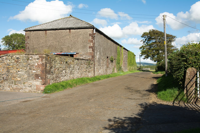
Image: © Trevor Littlewood Taken: 10 Aug 2015
The unusually long barn is on the north side of the minor road in Torpenhow - pronounced 'Trepenna'. On the wall alongside the road there's the OS flush bracket, G3123.
Images are licensed for reuse under creativecommons.org/licenses/by-sa/2.0
Image Location
Latitude
54.746409
Longitude
-3.234985