Main road through Bothel
Introduction
The photograph on this page of Main road through Bothel by Trevor Littlewood as part of the Geograph project.
The Geograph project started in 2005 with the aim of publishing, organising and preserving representative images for every square kilometre of Great Britain, Ireland and the Isle of Man.

There are currently over 7.5m images from over 14,400 individuals and you can help contribute to the project by visiting https://www.geograph.org.uk
Main road through Bothel
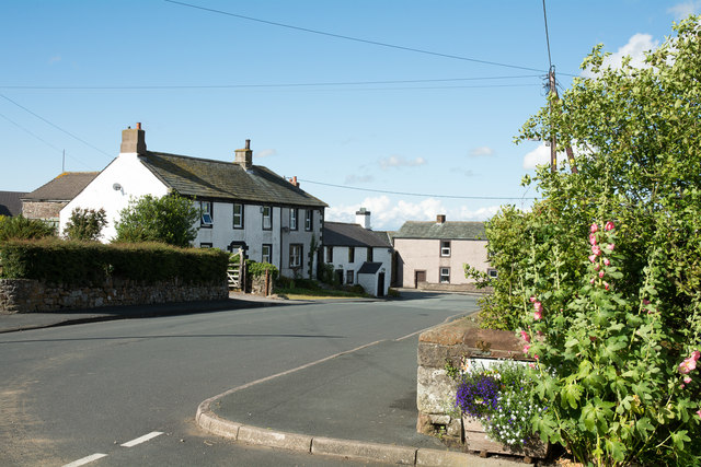
Image: © Trevor Littlewood Taken: 10 Aug 2015
Bothel is a small Cumbrian village now bypassed by the A591; once, presumably, the road in this image was the A591.
Images are licensed for reuse under creativecommons.org/licenses/by-sa/2.0
Image Location
Latitude
54.738111
Longitude
-3.272632