Pond at High House Farm
Introduction
The photograph on this page of Pond at High House Farm by Gordon Hatton as part of the Geograph project.
The Geograph project started in 2005 with the aim of publishing, organising and preserving representative images for every square kilometre of Great Britain, Ireland and the Isle of Man.

There are currently over 7.5m images from over 14,400 individuals and you can help contribute to the project by visiting https://www.geograph.org.uk
Pond at High House Farm
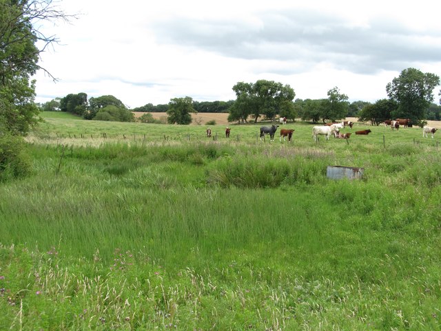
Image: © Gordon Hatton Taken: 9 Aug 2015
If it wasn't for the small blue dot on the OS map one might not even notice this pond which has all but dried up and is covered in vegetation.
Images are licensed for reuse under creativecommons.org/licenses/by-sa/2.0
Image Location
Latitude
54.591189
Longitude
-1.527815