Noah's Ark Lane, Lindfield
Introduction
The photograph on this page of Noah's Ark Lane, Lindfield by Simon Carey as part of the Geograph project.
The Geograph project started in 2005 with the aim of publishing, organising and preserving representative images for every square kilometre of Great Britain, Ireland and the Isle of Man.

There are currently over 7.5m images from over 14,400 individuals and you can help contribute to the project by visiting https://www.geograph.org.uk
Noah's Ark Lane, Lindfield
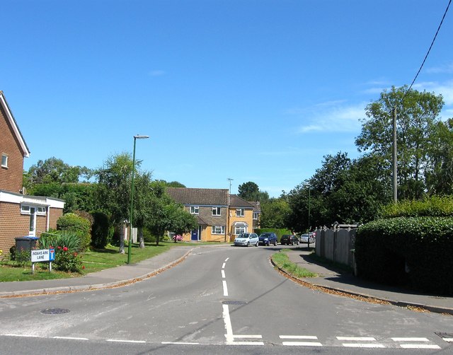
Image: © Simon Carey Taken: 9 Aug 2015
Heading north from Lewes Road originally as an access road for Lindfield Nurseries but developed as a small housing estate in the 1970s. Out of shot to the right is Image
Images are licensed for reuse under creativecommons.org/licenses/by-sa/2.0
Image Location
Latitude
51.009002
Longitude
-0.077216