East Mascalls
Introduction
The photograph on this page of East Mascalls by Simon Carey as part of the Geograph project.
The Geograph project started in 2005 with the aim of publishing, organising and preserving representative images for every square kilometre of Great Britain, Ireland and the Isle of Man.

There are currently over 7.5m images from over 14,400 individuals and you can help contribute to the project by visiting https://www.geograph.org.uk
East Mascalls
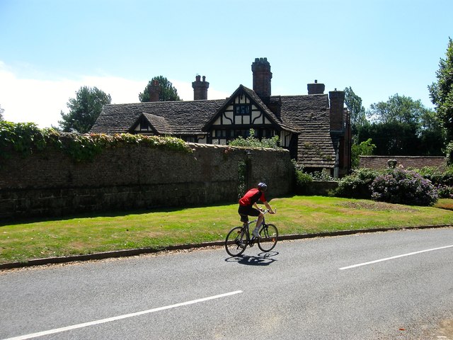
Image: © Simon Carey Taken: 9 Aug 2015
Parts of the house date back to 1578 when it was built to replace a much earlier 15th century dwelling, named after the family who originally lived here. By the 19th century it had become a farmhouse and had started falling into decay, see http://cdn.ipernity.com/134/04/55/24610455.9941971a.640.jpg?r2 for a view in the 1880s. It was painstakingly restored in 1896 with a west wing added in similar style in 1937.
Images are licensed for reuse under creativecommons.org/licenses/by-sa/2.0
Image Location
Latitude
51.014192
Longitude
-0.053905