Farm lane near to Whitrigg
Introduction
The photograph on this page of Farm lane near to Whitrigg by Trevor Littlewood as part of the Geograph project.
The Geograph project started in 2005 with the aim of publishing, organising and preserving representative images for every square kilometre of Great Britain, Ireland and the Isle of Man.

There are currently over 7.5m images from over 14,400 individuals and you can help contribute to the project by visiting https://www.geograph.org.uk
Farm lane near to Whitrigg
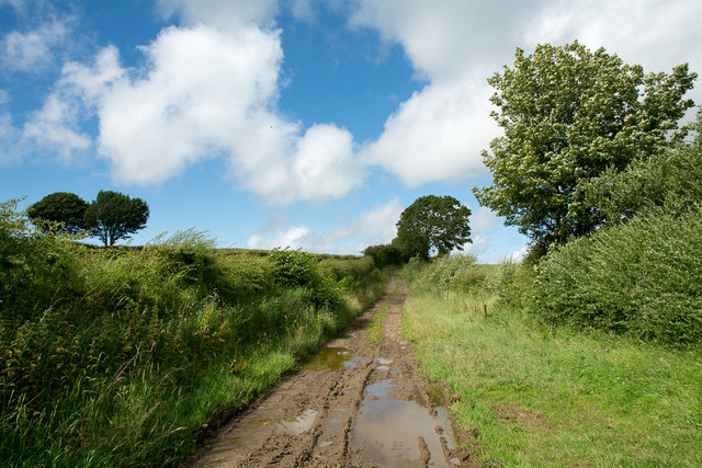
Image: © Trevor Littlewood Taken: 10 Aug 2015
The lane which is also initially a bridleway lies to the west of the small village of Whitrigg.
Images are licensed for reuse under creativecommons.org/licenses/by-sa/2.0
Image Location
Latitude
54.731416
Longitude
-3.242294