Field on the south side of Orton Lane near Clarbeston Road, Pembrokeshire
Introduction
The photograph on this page of Field on the south side of Orton Lane near Clarbeston Road, Pembrokeshire by Jaggery as part of the Geograph project.
The Geograph project started in 2005 with the aim of publishing, organising and preserving representative images for every square kilometre of Great Britain, Ireland and the Isle of Man.

There are currently over 7.5m images from over 14,400 individuals and you can help contribute to the project by visiting https://www.geograph.org.uk
Field on the south side of Orton Lane near Clarbeston Road, Pembrokeshire
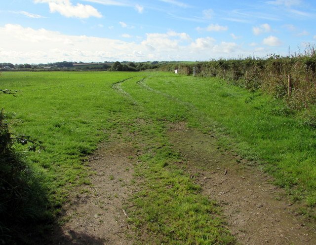
Image: © Jaggery Taken: 11 Aug 2015
Viewed from the field gate on the left here. http://www.geograph.org.uk/photo/4611187 Clarbeston Road is a small village in Pembrokeshire.
Images are licensed for reuse under creativecommons.org/licenses/by-sa/2.0
Image Location
Latitude
51.845452
Longitude
-4.880101