Start of the 30 zone at the southern edge of Clarbeston Road
Introduction
The photograph on this page of Start of the 30 zone at the southern edge of Clarbeston Road by Jaggery as part of the Geograph project.
The Geograph project started in 2005 with the aim of publishing, organising and preserving representative images for every square kilometre of Great Britain, Ireland and the Isle of Man.

There are currently over 7.5m images from over 14,400 individuals and you can help contribute to the project by visiting https://www.geograph.org.uk
Start of the 30 zone at the southern edge of Clarbeston Road
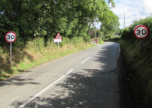
Image: © Jaggery Taken: 11 Aug 2015
The National Speed Limit along the minor road north from Wiston drops to 30mph at the edge of Clarbeston Road, a small village in Pembrokeshire.
Images are licensed for reuse under creativecommons.org/licenses/by-sa/2.0
Image Location
Latitude
51.84635
Longitude
-4.880158