Millbrook Lake
Introduction
The photograph on this page of Millbrook Lake by Derek Harper as part of the Geograph project.
The Geograph project started in 2005 with the aim of publishing, organising and preserving representative images for every square kilometre of Great Britain, Ireland and the Isle of Man.

There are currently over 7.5m images from over 14,400 individuals and you can help contribute to the project by visiting https://www.geograph.org.uk
Millbrook Lake
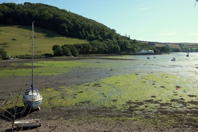
Image: © Derek Harper Taken: 8 Aug 2015
This inlet on the estuary at Lower Anderton has a pair of embankments that jut out - one can be seen on the far side here. Behind it rise the steep Clarrick Woods. View from footpath 617 37/2.
Images are licensed for reuse under creativecommons.org/licenses/by-sa/2.0
Image Location


Leaflet Map data © OpenStreetMap
Latitude
50.350794
Longitude
-4.194115