Converted barn at Stevens Farm
Introduction
The photograph on this page of Converted barn at Stevens Farm by Bikeboy as part of the Geograph project.
The Geograph project started in 2005 with the aim of publishing, organising and preserving representative images for every square kilometre of Great Britain, Ireland and the Isle of Man.

There are currently over 7.5m images from over 14,400 individuals and you can help contribute to the project by visiting https://www.geograph.org.uk
Converted barn at Stevens Farm
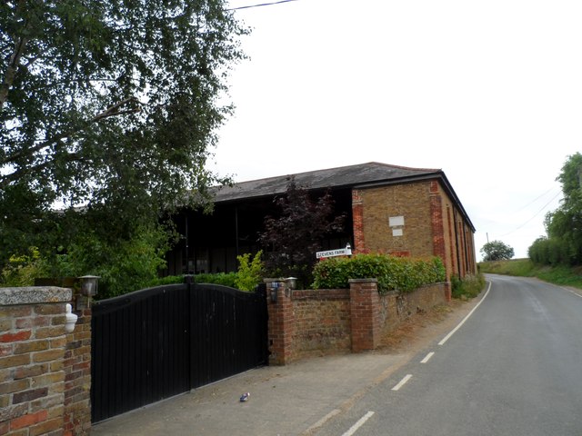
Image: © Bikeboy Taken: 11 Aug 2015
The plaque on the wall states "Erected July 1862 by William Crush, the former buildings having been destroyed by fire the 24 March of the same year". The smaller plaque underneath reads "Converted May 2001, new use, new life, The Door Ltd". See http://www.geograph.org.uk/photo/4610573 for a close up.
Images are licensed for reuse under creativecommons.org/licenses/by-sa/2.0
Image Location
Latitude
51.763218
Longitude
0.415225