The Chequers Inn, Roxwell
Introduction
The photograph on this page of The Chequers Inn, Roxwell by Bikeboy as part of the Geograph project.
The Geograph project started in 2005 with the aim of publishing, organising and preserving representative images for every square kilometre of Great Britain, Ireland and the Isle of Man.

There are currently over 7.5m images from over 14,400 individuals and you can help contribute to the project by visiting https://www.geograph.org.uk
The Chequers Inn, Roxwell
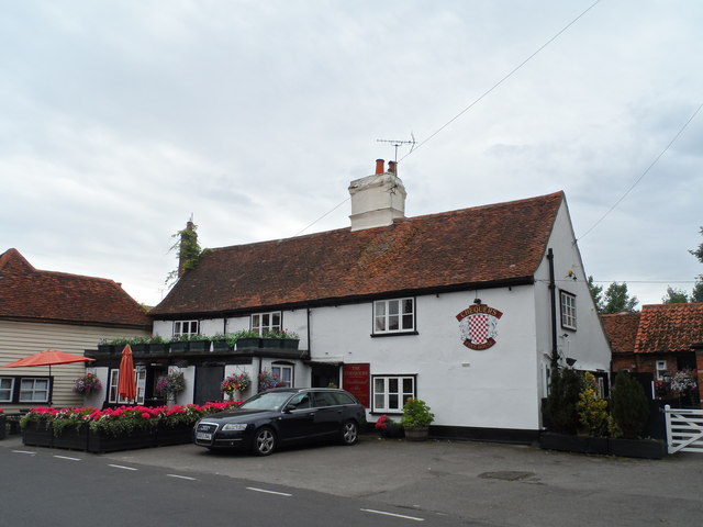
Image: © Bikeboy Taken: 11 Aug 2015
Originally built in C17 but much modified. See http://www.britishlistedbuildings.co.uk/en-426620-the-chequers-inn-roxwell-essex#.Vctdf_lViko for entry in British Listed Buildings.
Images are licensed for reuse under creativecommons.org/licenses/by-sa/2.0
Image Location
Latitude
51.7511
Longitude
0.383282