Hampton Common
Introduction
The photograph on this page of Hampton Common by Jonathan Billinger as part of the Geograph project.
The Geograph project started in 2005 with the aim of publishing, organising and preserving representative images for every square kilometre of Great Britain, Ireland and the Isle of Man.

There are currently over 7.5m images from over 14,400 individuals and you can help contribute to the project by visiting https://www.geograph.org.uk
Hampton Common
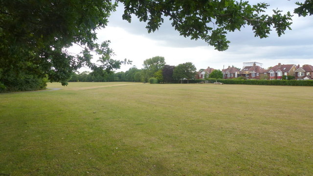
Image: © Jonathan Billinger Taken: 5 Jul 2015
Public open space on the western edge of Hampton, bordering Hanworth. Houses on Buckingham Road can be seen to the right.
Images are licensed for reuse under creativecommons.org/licenses/by-sa/2.0
Image Location
Latitude
51.428688
Longitude
-0.379577