White House Community building
Introduction
The photograph on this page of White House Community building by Jonathan Billinger as part of the Geograph project.
The Geograph project started in 2005 with the aim of publishing, organising and preserving representative images for every square kilometre of Great Britain, Ireland and the Isle of Man.

There are currently over 7.5m images from over 14,400 individuals and you can help contribute to the project by visiting https://www.geograph.org.uk
White House Community building
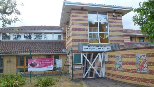
Image: © Jonathan Billinger Taken: 5 Jul 2015
This community building is now run by YMCA for Hampton and Hampton Hill.
Images are licensed for reuse under creativecommons.org/licenses/by-sa/2.0
Image Location
Latitude
51.425415
Longitude
-0.37696