Off Bowling Green Lane
Introduction
The photograph on this page of Off Bowling Green Lane by Kate Jewell as part of the Geograph project.
The Geograph project started in 2005 with the aim of publishing, organising and preserving representative images for every square kilometre of Great Britain, Ireland and the Isle of Man.

There are currently over 7.5m images from over 14,400 individuals and you can help contribute to the project by visiting https://www.geograph.org.uk
Off Bowling Green Lane
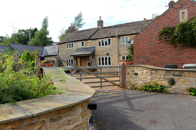
Image: © Kate Jewell Taken: 9 Aug 2015
This is typical of housing in Market Overton: village houses and cottages set back from the road in clusters.
Images are licensed for reuse under creativecommons.org/licenses/by-sa/2.0
Image Location


Leaflet Map data © OpenStreetMap
Latitude
52.736395
Longitude
-0.68388