East Wick, Lindfield
Introduction
The photograph on this page of East Wick, Lindfield by Simon Carey as part of the Geograph project.
The Geograph project started in 2005 with the aim of publishing, organising and preserving representative images for every square kilometre of Great Britain, Ireland and the Isle of Man.

There are currently over 7.5m images from over 14,400 individuals and you can help contribute to the project by visiting https://www.geograph.org.uk
East Wick, Lindfield
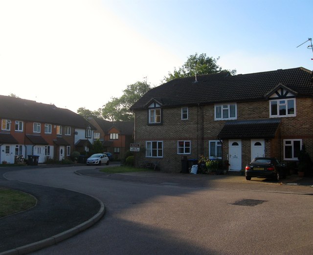
Image: © Simon Carey Taken: 9 Aug 2015
Small cul de sac off Noah's Ark Lane built in 1990 on the site of an old yard which was formerly part of a field called The East Wick according to Lindfield's 1845 tithe map.
Images are licensed for reuse under creativecommons.org/licenses/by-sa/2.0
Image Location
Latitude
51.008716
Longitude
-0.07623