The Scarva Road, Tanderagee
Introduction
The photograph on this page of The Scarva Road, Tanderagee by Albert Bridge as part of the Geograph project.
The Geograph project started in 2005 with the aim of publishing, organising and preserving representative images for every square kilometre of Great Britain, Ireland and the Isle of Man.

There are currently over 7.5m images from over 14,400 individuals and you can help contribute to the project by visiting https://www.geograph.org.uk
The Scarva Road, Tanderagee
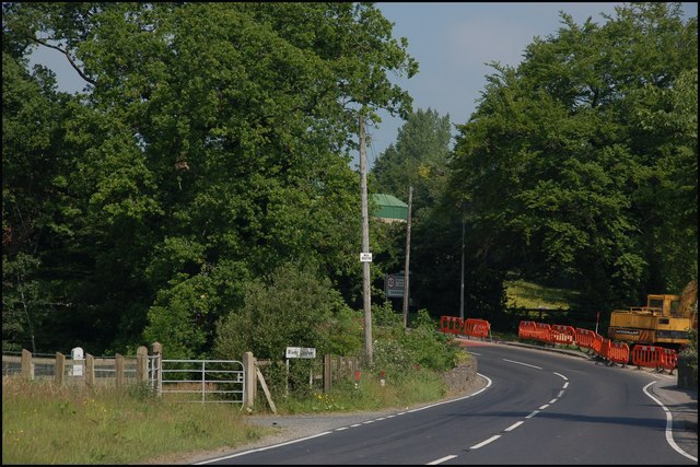
Image: © Albert Bridge Taken: 9 Jun 2007
This is the approach to Tanderagee (also “Tandragee”) from Scarva. The town is hidden around the bend, as is Whites – makers of “Speedicook” porridge. The small stone bridge (bottom right) carries the road over the River Cusher.
Images are licensed for reuse under creativecommons.org/licenses/by-sa/2.0
Image Location


Leaflet Map data © OpenStreetMap
Latitude
54.347704
Longitude
-6.409117