Folly Lane
Introduction
The photograph on this page of Folly Lane by David Weston as part of the Geograph project.
The Geograph project started in 2005 with the aim of publishing, organising and preserving representative images for every square kilometre of Great Britain, Ireland and the Isle of Man.

There are currently over 7.5m images from over 14,400 individuals and you can help contribute to the project by visiting https://www.geograph.org.uk
Folly Lane
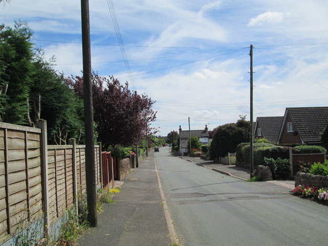
Image: © David Weston Taken: 2 Aug 2015
A residential road off the main road between Cheddleton and Wetley Rocks. Looking south, from the junction with Woodland Avenue.
Images are licensed for reuse under creativecommons.org/licenses/by-sa/2.0
Image Location
Latitude
53.049502
Longitude
-2.047844