New pond
Introduction
The photograph on this page of New pond by Graham Horn as part of the Geograph project.
The Geograph project started in 2005 with the aim of publishing, organising and preserving representative images for every square kilometre of Great Britain, Ireland and the Isle of Man.

There are currently over 7.5m images from over 14,400 individuals and you can help contribute to the project by visiting https://www.geograph.org.uk
New pond
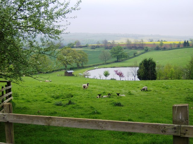
Image: © Graham Horn Taken: 27 Apr 2007
Most land is man made to some degree. But this is particularly noticeable. The pond is new, presumably created to offer fishing.
Images are licensed for reuse under creativecommons.org/licenses/by-sa/2.0
Image Location
Latitude
52.144962
Longitude
-1.243416