Lindfield Common
Introduction
The photograph on this page of Lindfield Common by Simon Carey as part of the Geograph project.
The Geograph project started in 2005 with the aim of publishing, organising and preserving representative images for every square kilometre of Great Britain, Ireland and the Isle of Man.

There are currently over 7.5m images from over 14,400 individuals and you can help contribute to the project by visiting https://www.geograph.org.uk
Lindfield Common
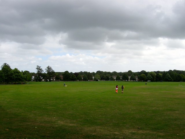
Image: © Simon Carey Taken: 4 Aug 2015
Lindfield's large common originally at the southern end of the village still survives as a public open space. A quick shower has scattered all those using it who are now returning from shelter to continue their activities.
Images are licensed for reuse under creativecommons.org/licenses/by-sa/2.0
Image Location
Latitude
51.008779
Longitude
-0.080076