Six Acres
Introduction
The photograph on this page of Six Acres by Simon Carey as part of the Geograph project.
The Geograph project started in 2005 with the aim of publishing, organising and preserving representative images for every square kilometre of Great Britain, Ireland and the Isle of Man.

There are currently over 7.5m images from over 14,400 individuals and you can help contribute to the project by visiting https://www.geograph.org.uk
Six Acres
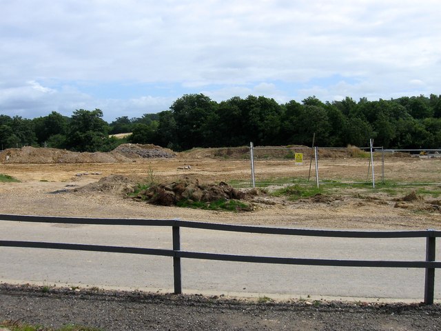
Image: © Simon Carey Taken: 4 Aug 2015
The name of the field according to Lindfield's 1845 tithe map that is about to disappear under the second phase of the Heathwood estate development. See also Image to the north.
Images are licensed for reuse under creativecommons.org/licenses/by-sa/2.0
Image Location
Latitude
51.001699
Longitude
-0.076093