Northlands Brook
Introduction
The photograph on this page of Northlands Brook by Simon Carey as part of the Geograph project.
The Geograph project started in 2005 with the aim of publishing, organising and preserving representative images for every square kilometre of Great Britain, Ireland and the Isle of Man.

There are currently over 7.5m images from over 14,400 individuals and you can help contribute to the project by visiting https://www.geograph.org.uk
Northlands Brook
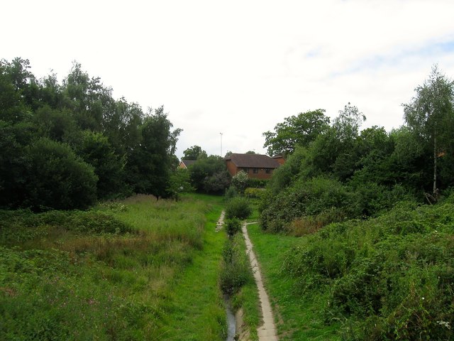
Image: © Simon Carey Taken: 4 Aug 2015
A tributary of Scrase Stream that has been straightened and culverted since the building of the Northlands Wood estate. The houses at the far end are on Beech Hill in Franklands Village now part of Haywards Heath.
Images are licensed for reuse under creativecommons.org/licenses/by-sa/2.0
Image Location
Latitude
50.99843
Longitude
-0.079648