Snowdrop Lane
Introduction
The photograph on this page of Snowdrop Lane by Simon Carey as part of the Geograph project.
The Geograph project started in 2005 with the aim of publishing, organising and preserving representative images for every square kilometre of Great Britain, Ireland and the Isle of Man.

There are currently over 7.5m images from over 14,400 individuals and you can help contribute to the project by visiting https://www.geograph.org.uk
Snowdrop Lane
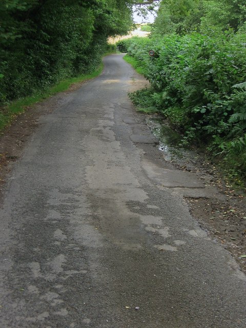
Image: © Simon Carey Taken: 4 Aug 2015
A narrow single lane highway that runs from the B2111 to the A272. Up to the 1960s it was marked on maps as Sluts Lane.
Images are licensed for reuse under creativecommons.org/licenses/by-sa/2.0
Image Location
Latitude
50.999403
Longitude
-0.067779