This way to Garn Wen Burial Chamber, Goodwick
Introduction
The photograph on this page of This way to Garn Wen Burial Chamber, Goodwick by Jaggery as part of the Geograph project.
The Geograph project started in 2005 with the aim of publishing, organising and preserving representative images for every square kilometre of Great Britain, Ireland and the Isle of Man.

There are currently over 7.5m images from over 14,400 individuals and you can help contribute to the project by visiting https://www.geograph.org.uk
This way to Garn Wen Burial Chamber, Goodwick
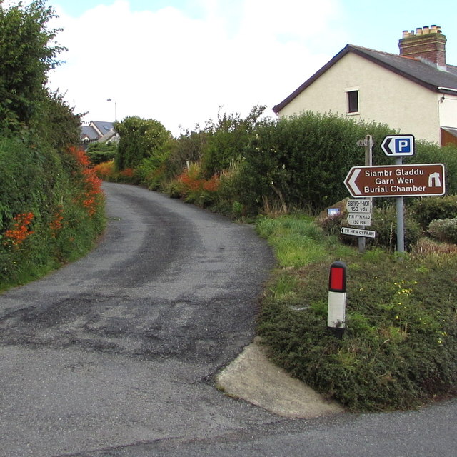
Image: © Jaggery Taken: 6 Aug 2015
A side road diverges from the top of New Hill.
Images are licensed for reuse under creativecommons.org/licenses/by-sa/2.0
Image Location


Leaflet Map data © OpenStreetMap
Latitude
52.009845
Longitude
-4.992233