Junction of Pigbush Lane with the B2133
Introduction
The photograph on this page of Junction of Pigbush Lane with the B2133 by Shazz as part of the Geograph project.
The Geograph project started in 2005 with the aim of publishing, organising and preserving representative images for every square kilometre of Great Britain, Ireland and the Isle of Man.

There are currently over 7.5m images from over 14,400 individuals and you can help contribute to the project by visiting https://www.geograph.org.uk
Junction of Pigbush Lane with the B2133
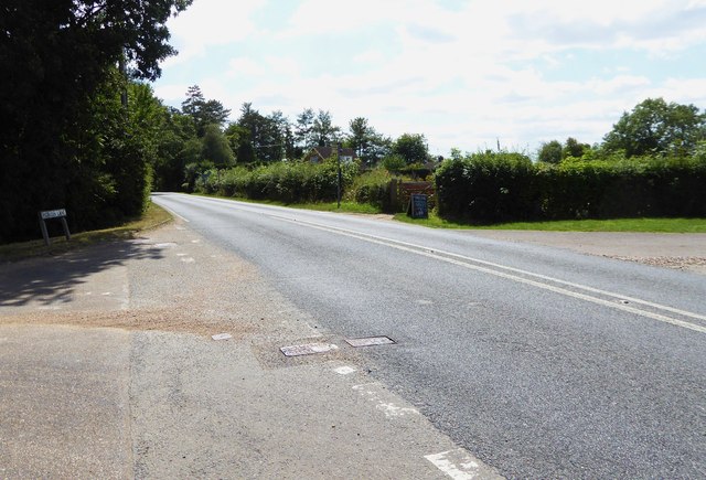
Image: © Shazz Taken: 7 Aug 2015
The B road is called Guildford Road as seen in the picture. Behind the camera it is Loxwood Road. See also http://www.geograph.org.uk/photo/4597634. This is in West Sussex.
Images are licensed for reuse under creativecommons.org/licenses/by-sa/2.0
Image Location
Latitude
51.089563
Longitude
-0.520971