Wythenshawe Transport Interchange
Introduction
The photograph on this page of Wythenshawe Transport Interchange by Gerald England as part of the Geograph project.
The Geograph project started in 2005 with the aim of publishing, organising and preserving representative images for every square kilometre of Great Britain, Ireland and the Isle of Man.

There are currently over 7.5m images from over 14,400 individuals and you can help contribute to the project by visiting https://www.geograph.org.uk
Wythenshawe Transport Interchange
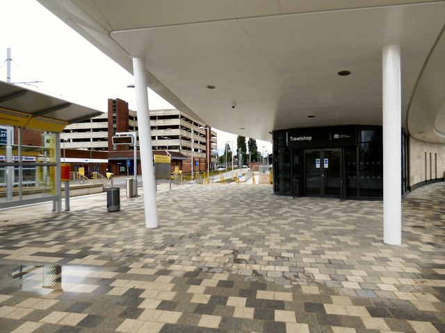
Image: © Gerald England Taken: 1 Aug 2015
On the left is the Metrolink tram stop. On the right is the bus station.
Images are licensed for reuse under creativecommons.org/licenses/by-sa/2.0
Image Location


Leaflet Map data © OpenStreetMap
Latitude
53.379649
Longitude
-2.263933