Pear Tree Cottage/Butterbox Cottage, Nash Lane
Introduction
The photograph on this page of Pear Tree Cottage/Butterbox Cottage, Nash Lane by Simon Carey as part of the Geograph project.
The Geograph project started in 2005 with the aim of publishing, organising and preserving representative images for every square kilometre of Great Britain, Ireland and the Isle of Man.

There are currently over 7.5m images from over 14,400 individuals and you can help contribute to the project by visiting https://www.geograph.org.uk
Pear Tree Cottage/Butterbox Cottage, Nash Lane
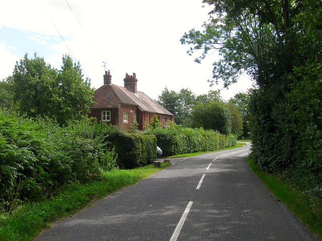
Image: © Simon Carey Taken: 4 Aug 2015
A pair of semi-detached cottages located near the junction with Sloop Lane and Butterbox Lane. They date from the early 1900s with Pear Tree Cottage the nearer of the two.
Images are licensed for reuse under creativecommons.org/licenses/by-sa/2.0
Image Location
Latitude
50.996772
Longitude
-0.028697