Path to Brucehill
Introduction
The photograph on this page of Path to Brucehill by Lairich Rig as part of the Geograph project.
The Geograph project started in 2005 with the aim of publishing, organising and preserving representative images for every square kilometre of Great Britain, Ireland and the Isle of Man.

There are currently over 7.5m images from over 14,400 individuals and you can help contribute to the project by visiting https://www.geograph.org.uk
Path to Brucehill
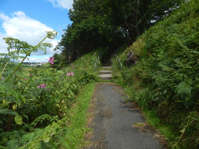
Image: © Lairich Rig Taken: 29 Jul 2015
Beyond the flight of steps visible ahead among the trees, the path continues as more steps (Image), leading up to Image The exposed rock to the right of the path (Image) is a reminder that this path leads up what were once sea cliffs; see Image, and compare nearby Image and Image For a view in the opposite direction (down the path), see Image
Images are licensed for reuse under creativecommons.org/licenses/by-sa/2.0
Image Location
Latitude
55.941278
Longitude
-4.587545