View to Hornby Church
Introduction
The photograph on this page of View to Hornby Church by Gordon Hatton as part of the Geograph project.
The Geograph project started in 2005 with the aim of publishing, organising and preserving representative images for every square kilometre of Great Britain, Ireland and the Isle of Man.

There are currently over 7.5m images from over 14,400 individuals and you can help contribute to the project by visiting https://www.geograph.org.uk
View to Hornby Church
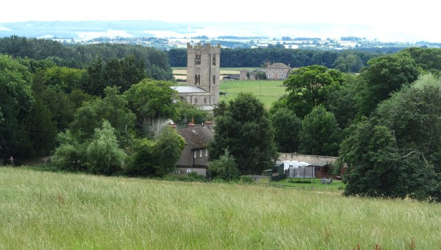
Image: © Gordon Hatton Taken: 29 Jul 2015
Looking over fields towards the 11thC tower of St Mary's Church at Hornby.
Images are licensed for reuse under creativecommons.org/licenses/by-sa/2.0
Image Location
Latitude
54.339095
Longitude
-1.659288