East of Eastington
Introduction
The photograph on this page of East of Eastington by Derek Harper as part of the Geograph project.
The Geograph project started in 2005 with the aim of publishing, organising and preserving representative images for every square kilometre of Great Britain, Ireland and the Isle of Man.

There are currently over 7.5m images from over 14,400 individuals and you can help contribute to the project by visiting https://www.geograph.org.uk
East of Eastington
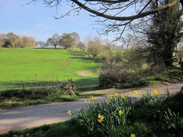
Image: © Derek Harper Taken: 8 Apr 2015
The scene at a lane junction, looking across the Leach valley to a field of pasture. The view almost looks along an easting gridline; most of the field boundary on the right is in Image
Images are licensed for reuse under creativecommons.org/licenses/by-sa/2.0
Image Location
Latitude
51.817819
Longitude
-1.813099