Field, Lower End, Eastington
Introduction
The photograph on this page of Field, Lower End, Eastington by Derek Harper as part of the Geograph project.
The Geograph project started in 2005 with the aim of publishing, organising and preserving representative images for every square kilometre of Great Britain, Ireland and the Isle of Man.

There are currently over 7.5m images from over 14,400 individuals and you can help contribute to the project by visiting https://www.geograph.org.uk
Field, Lower End, Eastington
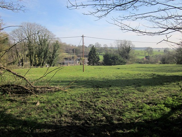
Image: © Derek Harper Taken: 8 Apr 2015
The view from the gate shown in Image The village is down in the dip of the Leach valley but houses are visible. "Lower End is formed mainly of small cottages built by James Dutton, Lord Sherborne, to house farm labourers after he reorganized his Eastington estate at the inclosure of 1783" http://www.british-history.ac.uk/vch/glos/vol9/pp106-145 .
Images are licensed for reuse under creativecommons.org/licenses/by-sa/2.0
Image Location
Latitude
51.816832
Longitude
-1.814409