Old road surface at Five Bridges
Introduction
The photograph on this page of Old road surface at Five Bridges by Jonathan Billinger as part of the Geograph project.
The Geograph project started in 2005 with the aim of publishing, organising and preserving representative images for every square kilometre of Great Britain, Ireland and the Isle of Man.

There are currently over 7.5m images from over 14,400 individuals and you can help contribute to the project by visiting https://www.geograph.org.uk
Old road surface at Five Bridges
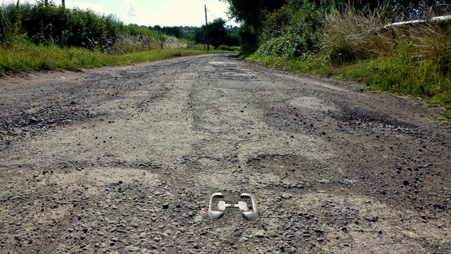
Image: © Jonathan Billinger Taken: 30 Jul 2015
Close-up of the old surface of what used to be the main road between Hereford and Worcester, complete with cat's-eye.
Images are licensed for reuse under creativecommons.org/licenses/by-sa/2.0
Image Location
Latitude
52.120334
Longitude
-2.502378