Lindfield House, High Street, Lindfield
Introduction
The photograph on this page of Lindfield House, High Street, Lindfield by Simon Carey as part of the Geograph project.
The Geograph project started in 2005 with the aim of publishing, organising and preserving representative images for every square kilometre of Great Britain, Ireland and the Isle of Man.

There are currently over 7.5m images from over 14,400 individuals and you can help contribute to the project by visiting https://www.geograph.org.uk
Lindfield House, High Street, Lindfield
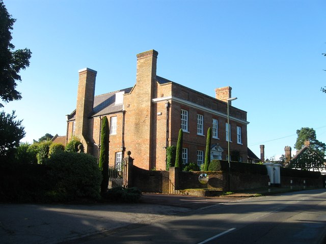
Image: © Simon Carey Taken: 4 Aug 2015
Dating from the early 18th century and located to the immediate north of Image virtually the last house in the village on the eastern side of the road before it drops down towards the River Ouse.
Images are licensed for reuse under creativecommons.org/licenses/by-sa/2.0
Image Location
Latitude
51.017007
Longitude
-0.077313