Osterley Fields from the air
Introduction
The photograph on this page of Osterley Fields from the air by Thomas Nugent as part of the Geograph project.
The Geograph project started in 2005 with the aim of publishing, organising and preserving representative images for every square kilometre of Great Britain, Ireland and the Isle of Man.

There are currently over 7.5m images from over 14,400 individuals and you can help contribute to the project by visiting https://www.geograph.org.uk
Osterley Fields from the air
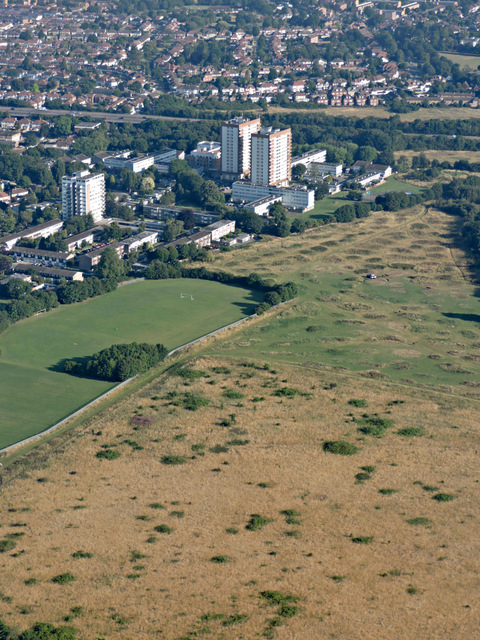
Image: © Thomas Nugent Taken: 31 Jul 2015
Horses can be seen at the far end of the fields, being fed from a white van. See Image for a view at ground level and for information about the fields.
Images are licensed for reuse under creativecommons.org/licenses/by-sa/2.0
Image Location
Latitude
51.484054
Longitude
-0.364654