River Angiddy downstream from Pont-y-Saeson
Introduction
The photograph on this page of River Angiddy downstream from Pont-y-Saeson by Jaggery as part of the Geograph project.
The Geograph project started in 2005 with the aim of publishing, organising and preserving representative images for every square kilometre of Great Britain, Ireland and the Isle of Man.

There are currently over 7.5m images from over 14,400 individuals and you can help contribute to the project by visiting https://www.geograph.org.uk
River Angiddy downstream from Pont-y-Saeson
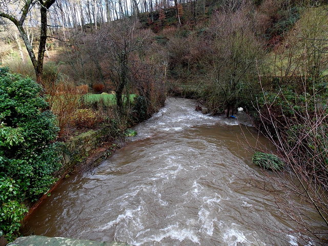
Image: © Jaggery Taken: 19 Jan 2014
Viewed near Cross Farm. http://www.geograph.org.uk/photo/4598351
Images are licensed for reuse under creativecommons.org/licenses/by-sa/2.0
Image Location
Latitude
51.698923
Longitude
-2.712277