Saul church
Introduction
The photograph on this page of Saul church by mym as part of the Geograph project.
The Geograph project started in 2005 with the aim of publishing, organising and preserving representative images for every square kilometre of Great Britain, Ireland and the Isle of Man.

There are currently over 7.5m images from over 14,400 individuals and you can help contribute to the project by visiting https://www.geograph.org.uk
Saul church
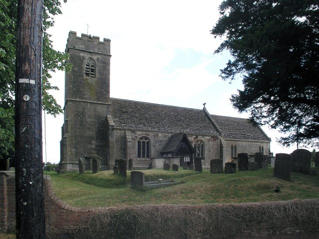
Image: © mym Taken: 20 Jul 2003
I wonder if this village used to be called Paul... shame it's not on the way to a place called Damascus.
Images are licensed for reuse under creativecommons.org/licenses/by-sa/2.0
Image Location


Leaflet Map data © OpenStreetMap
Latitude
51.78179
Longitude
-2.366695