War Memorial, Winterborne Stickland
Introduction
The photograph on this page of War Memorial, Winterborne Stickland by Maigheach-gheal as part of the Geograph project.
The Geograph project started in 2005 with the aim of publishing, organising and preserving representative images for every square kilometre of Great Britain, Ireland and the Isle of Man.

There are currently over 7.5m images from over 14,400 individuals and you can help contribute to the project by visiting https://www.geograph.org.uk
War Memorial, Winterborne Stickland
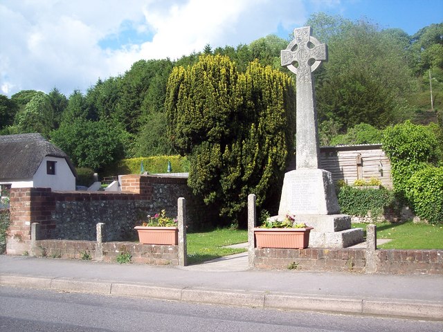
Image: © Maigheach-gheal Taken: 29 May 2007
Winterborne Stickland takes its name from the local stream and the Saxon word 'Stikel-land' meaning 'steep land'.
Images are licensed for reuse under creativecommons.org/licenses/by-sa/2.0
Image Location


Leaflet Map data © OpenStreetMap
Latitude
50.841318
Longitude
-2.23514