View from lane near Longparks
Introduction
The photograph on this page of View from lane near Longparks by Derek Harper as part of the Geograph project.
The Geograph project started in 2005 with the aim of publishing, organising and preserving representative images for every square kilometre of Great Britain, Ireland and the Isle of Man.

There are currently over 7.5m images from over 14,400 individuals and you can help contribute to the project by visiting https://www.geograph.org.uk
View from lane near Longparks
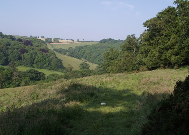
Image: © Derek Harper Taken: 7 Jun 2007
A view along the edge of Warren Wood on the right, with the Lyd valley beyond. On the far side of the valley (in SX4184) are Blackdown Wood on the left and Hartly Wood on the right.
Images are licensed for reuse under creativecommons.org/licenses/by-sa/2.0
Image Location


Leaflet Map data © OpenStreetMap
Latitude
50.639684
Longitude
-4.232297