The Comber Greenway, Millmount Village, Dundonald (August 2015)
Introduction
The photograph on this page of The Comber Greenway, Millmount Village, Dundonald (August 2015) by Albert Bridge as part of the Geograph project.
The Geograph project started in 2005 with the aim of publishing, organising and preserving representative images for every square kilometre of Great Britain, Ireland and the Isle of Man.

There are currently over 7.5m images from over 14,400 individuals and you can help contribute to the project by visiting https://www.geograph.org.uk
The Comber Greenway, Millmount Village, Dundonald (August 2015)
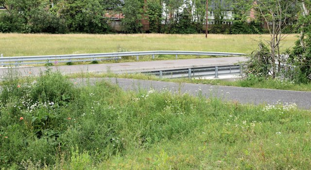
Image: © Albert Bridge Taken: 1 Aug 2015
A side entrance, close to here Image, connecting the Comber Greenway to the Millmount Village development. The disturbed soil has several wildflowers growing including poppies.
Images are licensed for reuse under creativecommons.org/licenses/by-sa/2.0
Image Location
Latitude
54.581351
Longitude
-5.789189