Bodicote: The Methodist Church
Introduction
The photograph on this page of Bodicote: The Methodist Church by Nigel Cox as part of the Geograph project.
The Geograph project started in 2005 with the aim of publishing, organising and preserving representative images for every square kilometre of Great Britain, Ireland and the Isle of Man.

There are currently over 7.5m images from over 14,400 individuals and you can help contribute to the project by visiting https://www.geograph.org.uk
Bodicote: The Methodist Church
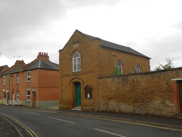
Image: © Nigel Cox Taken: 27 Jul 2015
The church, which is on East Street, and which was built as the Wesleyan Chapel in 1845, is on the Banbury Circuit.
Images are licensed for reuse under creativecommons.org/licenses/by-sa/2.0
Image Location
Latitude
52.035891
Longitude
-1.330248